 Ridgeflow
Red Tarns Track
Canterbury · New Zealand
Distance1.7 km (1.1 mi)along the line
Climb313 m (1,027 ft)0 m (0 ft) down
High point1,052 m (3,451 ft)lowest 736 m (2,415 ft)
Walking time57 minone way, moving, our estimate
GradeEasyDOC
Elevation profile
Map
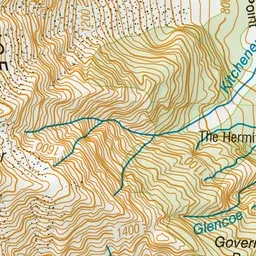
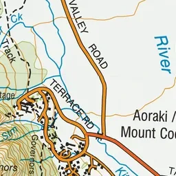
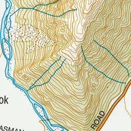
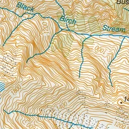
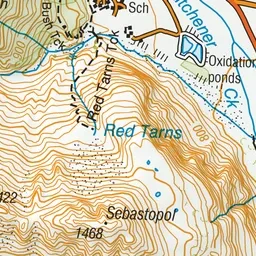
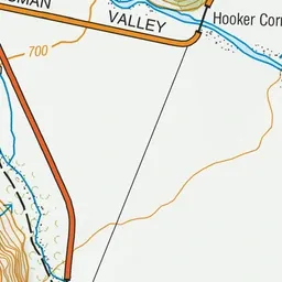
Pink: the track. Green dot: the start.
About the track
Walk to tarns with red pond weed and enjoy panoramic views of the surrounding area.
Red Tarns Track on DOC's website, for track alerts, bookings and closures.