 Ridgeflow
Rees-Dart Track
Otago · New Zealand
Distance59.8 km (37.2 mi)along the line
Climb1,624 m (5,328 ft)1,743 m (5,719 ft) down
High point1,466 m (4,810 ft)lowest 400 m (1,312 ft)
DOC's time4-5 days one wayas DOC publishes it
Walking time17 h 40 minone way, moving, our estimate
GradeAdvancedDOC
Elevation profile
Map
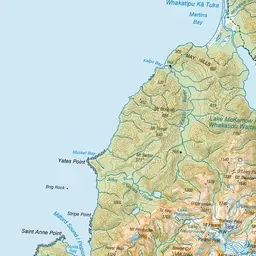
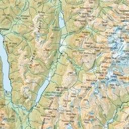
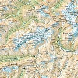
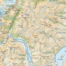
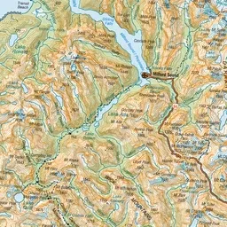
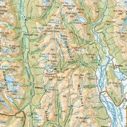
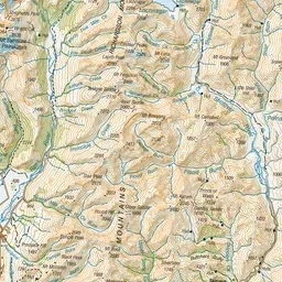
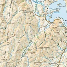
Pink: the track. Green dot: the start. Orange: huts. Blue: campsites.
About the track
See spectacular mountain scenery, forest and alpine vegetation, glacier-fed rivers and the Dart Glacier on the Rees-Dart Track.
Huts on or near the track
- Dart Hut (929 m)
- Daleys Flat Hut (467 m)
- Shelter Rock Hut (899 m)
Campsites
- Daleys Flat Campsite (469 m)
- Dart Campsite (942 m)
- Shelter Rock Campsite (895 m)
Rees-Dart Track on DOC's website, for track alerts, bookings and closures.