 Ridgeflow
Remutaka Rail Trail
Wellington · New Zealand
Distance3.3 km (2 mi)along the line
Climb226 m (741 ft)27 m (89 ft) down
High point299 m (981 ft)lowest 86 m (282 ft)
DOC's time4 hr 30 min walk from Kaitokeas DOC publishes it
Walking time1 h 11 minone way, moving, our estimate
GradeEasyDOC
Elevation profile
Map
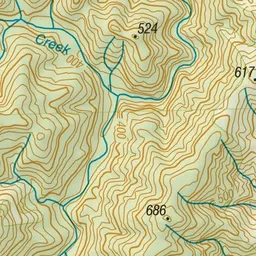
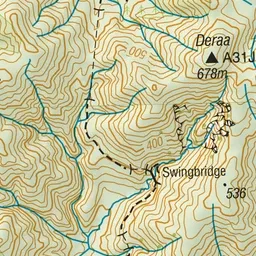
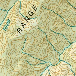
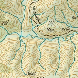
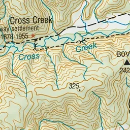
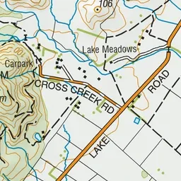
Pink: the track. Green dot: the start.
About the track
Built in 1878, this rail route between the Hutt Valley and Featherston is now a gently graded 18 km walk, run or mountain bike ride, with opportunities for camping, swimming and fishing.
Remutaka Rail Trail on DOC's website, for track alerts, bookings and closures.