 Ridgeflow
Renata-Alpha Crossing
Wellington · New Zealand
Distance19.5 km (12.1 mi)all 4 sections
Climb1,042 m (3,419 ft)1,692 m (5,551 ft) down
High point1,367 m (4,485 ft)lowest 202 m (663 ft)
DOC's time3-4 daysas DOC publishes it
GradeAdvanced, ExpertDOC
This track is mapped in 4 separate sections, so there is no single profile or walking time. Climb is added up section by section.
Map
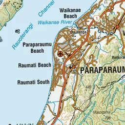
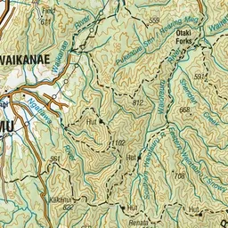
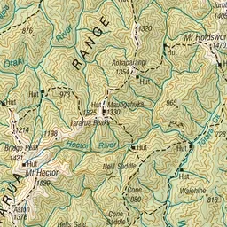
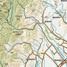
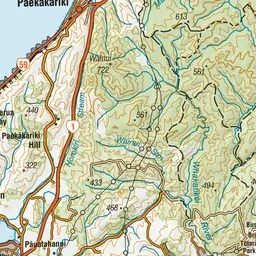
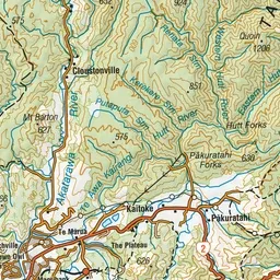
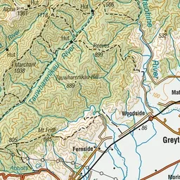
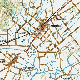
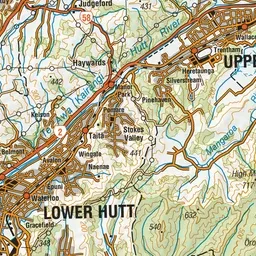
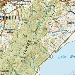
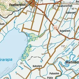
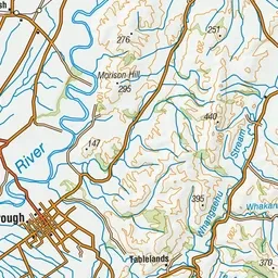
Pink: the track. Orange: huts.
About the track
This route crosses the southern end of the Tararua Forest Park, starting at the Akatarawa Saddle and finishing at Kaitoke.
Huts on or near the track
- Elder Hut (1093 m)
- Renata Hut (670 m)
- Alpha Hut (1110 m)
Renata-Alpha Crossing on DOC's website, for track alerts, bookings and closures.