 Ridgeflow
Renfrew Road end to Table Flat Road end
Manawatū-Whanganui · New Zealand
Distance20.1 km (12.5 mi)all 8 sections
Climb1,707 m (5,600 ft)1,583 m (5,194 ft) down
High point1,552 m (5,092 ft)lowest 590 m (1,936 ft)
DOC's time2-3 daysas DOC publishes it
GradeAdvancedDOC
This track is mapped in 8 separate sections, so there is no single profile or walking time. Climb is added up section by section.
Map
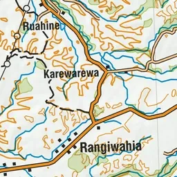
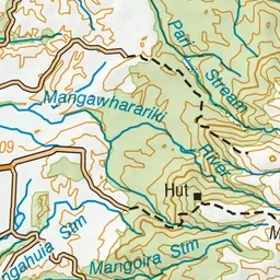
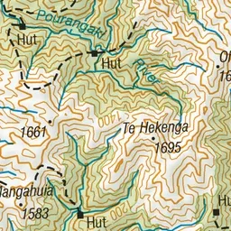
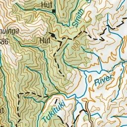
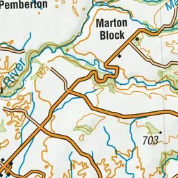
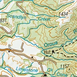
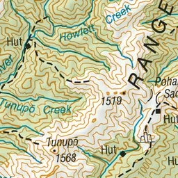
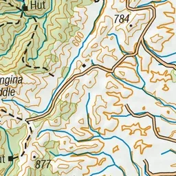
Pink: the track. Orange: huts.
About the track
Climb up and over the tussock tops of the Whanahuia Range in Ruahine Forest Park then drop down to follow the Oroua River valley.
Huts on or near the track
- Iron Gate Hut (708 m)
- Triangle Hut (868 m)
- Alice Nash Memorial Heritage Lodge (702 m)
- Rangiwahia Hut (1310 m, bookable)
Renfrew Road end to Table Flat Road end on DOC's website, for track alerts, bookings and closures.