 Ridgeflow
Ridge Loop Track
Taranaki · New Zealand
Distance0.9 km (0.6 mi)along the line
Climb105 m (344 ft)14 m (46 ft) down
High point989 m (3,245 ft)lowest 884 m (2,900 ft)
DOC's time1hr 20 minas DOC publishes it
Walking time24 minone way, moving, our estimate
GradeEasyDOC
Elevation profile
Map
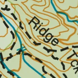
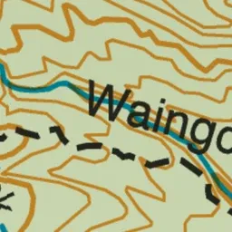
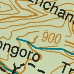
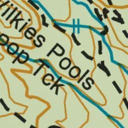
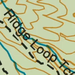
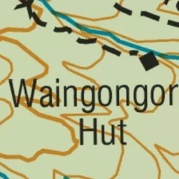
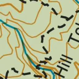
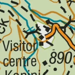
Pink: the track. Green dot: the start.
About the track
This track meanders uphill through subalpine forest, crossing the Kapuni Stream before looping and returning to the visitor centre.
Ridge Loop Track on DOC's website, for track alerts, bookings and closures.