 Ridgeflow
Rimu Walk
Manawatū-Whanganui · New Zealand
Distance0.6 km (0.4 mi)along the line
Climb12 m (39 ft)13 m (43 ft) down
High point634 m (2,080 ft)lowest 620 m (2,034 ft)
DOC's time15 mins returnas DOC publishes it
Walking time10 minone way, moving, our estimate
GradeEasiestDOC
Elevation profile
Map
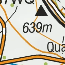
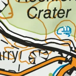
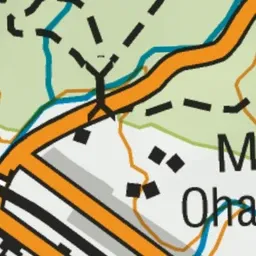
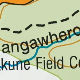
Pink: the track.
About the track
Explore the forest in the Tongariro National Park on this easy short walk close to Ohakune township.
Rimu Walk on DOC's website, for track alerts, bookings and closures.