 Ridgeflow
Rimu Walk
Waikato · New Zealand
Distance1.5 km (1 mi)along the line
Climb37 m (121 ft)34 m (112 ft) down
High point517 m (1,696 ft)lowest 480 m (1,575 ft)
DOC's time1 hras DOC publishes it
Walking time27 minone way, moving, our estimate
GradeEasyDOC
Elevation profile
Map
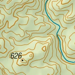
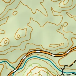
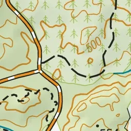
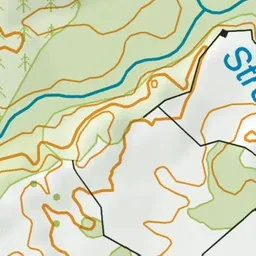
Pink: the track. Green dot: the start. Blue: campsites.
About the track
This short loop walk from Kakaho Campsite takes in the fantastic views and the tall trees of the Pureora Forest.
Campsites
- Kakaho Campsite (480 m)
Rimu Walk on DOC's website, for track alerts, bookings and closures.