 Ridgeflow
Rings Beach Loop Track
Waikato · New Zealand
Distance4.7 km (2.9 mi)along the line
Climb286 m (938 ft)246 m (807 ft) down
High point155 m (509 ft)lowest 21 m (69 ft)
DOC's time2.5–3 hoursas DOC publishes it
Walking time1 h 39 minone way, moving, our estimate
GradeIntermediateDOC
Elevation profile
Map
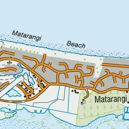
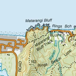
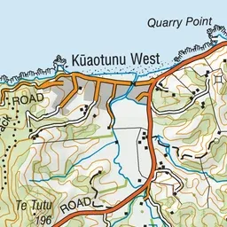
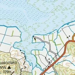
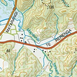
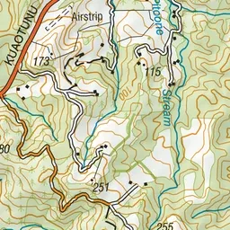
Pink: the track. Green dot: the start.
About the track
Enjoy the spectacular views as you wind through the regenerating forest and wetlands between Matarangi and Rings Beach.
Rings Beach Loop Track on DOC's website, for track alerts, bookings and closures.