 Ridgeflow
River Ridge Track
Wellington · New Zealand
Distance1.6 km (1 mi)along the line
Climb0 m (0 ft)367 m (1,204 ft) down
High point753 m (2,470 ft)lowest 386 m (1,266 ft)
DOC's time2 hras DOC publishes it
Walking time35 minone way, moving, our estimate
GradeAdvancedDOC
Elevation profile
Map
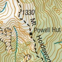
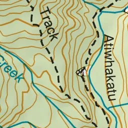
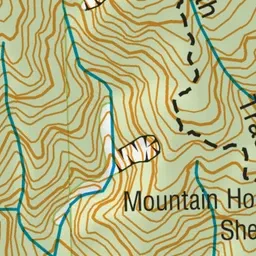
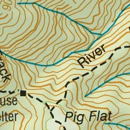
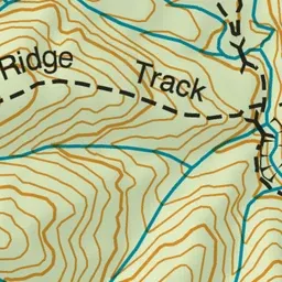
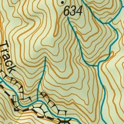
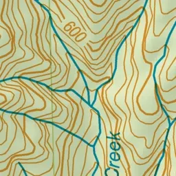
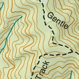
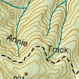
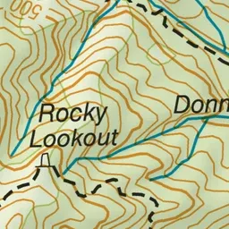
Pink: the track. Green dot: the start.
About the track
This track connects Atiwhakatu Valley with Mountain House Shelter. It is more challenging than the Gentle Annie Track.
River Ridge Track on DOC's website, for track alerts, bookings and closures.