 Ridgeflow
Rob Roy Track
Otago · New Zealand
Distance5.3 km (3.3 mi)along the line
Climb425 m (1,394 ft)24 m (79 ft) down
High point780 m (2,559 ft)lowest 379 m (1,243 ft)
DOC's time3–4 hras DOC publishes it
Walking time2 h 2 minone way, moving, our estimate
GradeEasyDOC
Elevation profile
Map
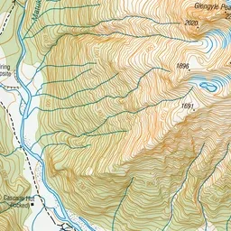
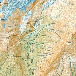
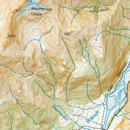
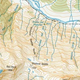
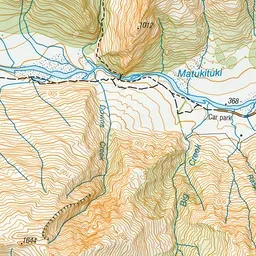
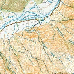
Pink: the track. Green dot: the start.
About the track
This track offers an easy route into a dramatic alpine landscape that includes snowfields, glaciers, sheer rock cliffs and waterfalls. Older children should be able to complete the track.
Rob Roy Track on DOC's website, for track alerts, bookings and closures.