 Ridgeflow
Roberts Point Track
West Coast · New Zealand
Distance3.7 km (2.3 mi)along the line
Climb464 m (1,522 ft)60 m (197 ft) down
High point605 m (1,985 ft)lowest 200 m (656 ft)
DOC's time5 hr 20 min returnas DOC publishes it
Walking time1 h 42 minone way, moving, our estimate
GradeAdvancedDOC
Elevation profile
Map
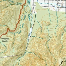
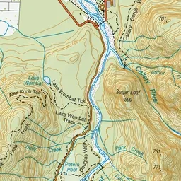
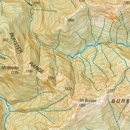
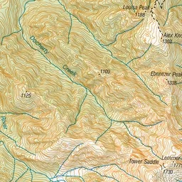
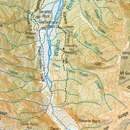
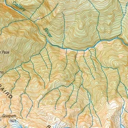
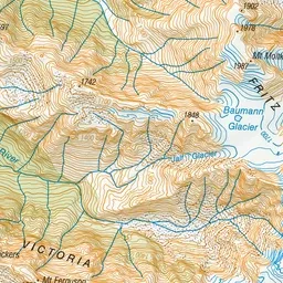
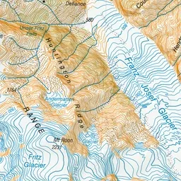
Pink: the track. Green dot: the start.
About the track
This challenging day hike to Roberts Point provides spectacular views of Franz Josef Glacier and the surrounding mountains. It requires good fitness and is best suited to experienced hikers.
Roberts Point Track on DOC's website, for track alerts, bookings and closures.