 Ridgeflow
Rocky Mountain Track
Otago · New Zealand
Distance1.5 km (0.9 mi)along the line
Climb150 m (492 ft)126 m (413 ft) down
High point765 m (2,510 ft)lowest 615 m (2,018 ft)
DOC's time3 hr from car parkas DOC publishes it
Walking time37 minone way, moving, our estimate
GradeEasyDOC
Elevation profile
Map

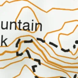
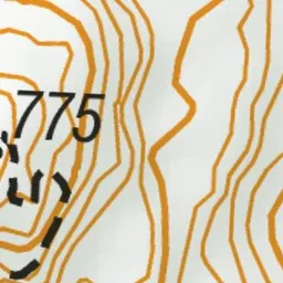
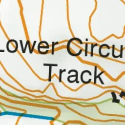
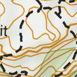
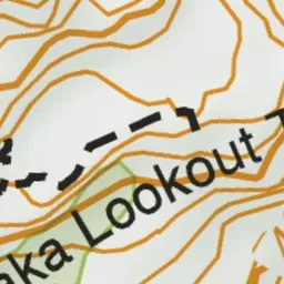
Pink: the track. Green dot: the start.
About the track
This circuit winds its way around Rocky Mountain. There are outstanding views of Lake Wānaka and surrounding mountains.
Rocky Mountain Track on DOC's website, for track alerts, bookings and closures.