 Ridgeflow
Rocky's to Waiotahi Track
Waikato · New Zealand
Distance3.3 km (2 mi)along the line
Climb386 m (1,266 ft)87 m (285 ft) down
High point362 m (1,188 ft)lowest 19 m (62 ft)
DOC's time1.5 hr to the junctionas DOC publishes it
Walking time1 h 28 minone way, moving, our estimate
GradeAdvancedDOC
Elevation profile
Map
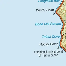
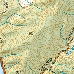
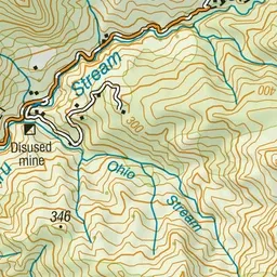
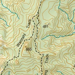

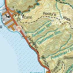
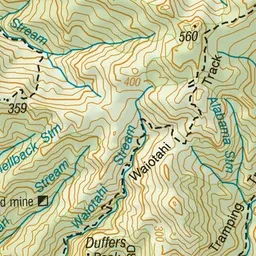
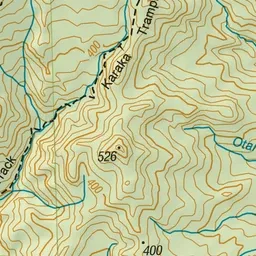

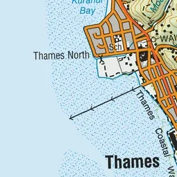
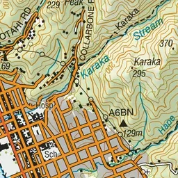
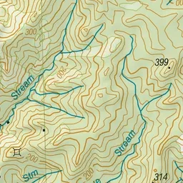
Pink: the track. Green dot: the start.
About the track
Rocky’s walk takes you through an old mining area just north of Thames.
Rocky's to Waiotahi Track on DOC's website, for track alerts, bookings and closures.