 Ridgeflow
Rokaiwhana Stream Walk
Manawatū-Whanganui · New Zealand
Distance2.1 km (1.3 mi)along the line
Climb166 m (545 ft)99 m (325 ft) down
High point575 m (1,886 ft)lowest 409 m (1,342 ft)
DOC's time1 hras DOC publishes it
Walking time48 minone way, moving, our estimate
GradeAdvancedDOC
Elevation profile
Map
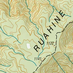
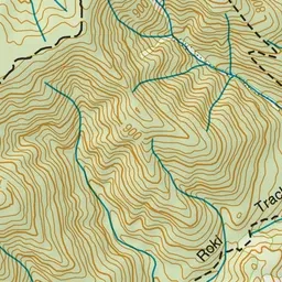
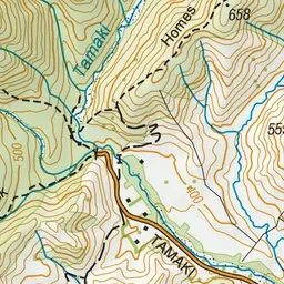
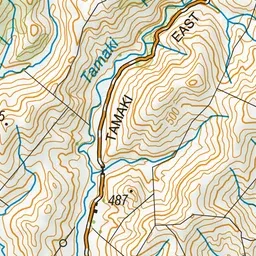
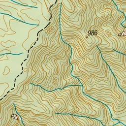
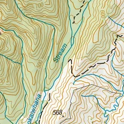
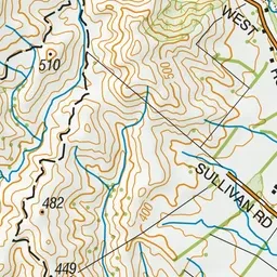
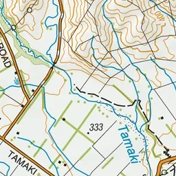
Pink: the track. Green dot: the start.
About the track
Rokaiwhana Stream Walk is a pleasant and easy 1-hour forest walk you get to from Tamaki Road end in Eastern Ruahine Forest.
Rokaiwhana Stream Walk on DOC's website, for track alerts, bookings and closures.