 Ridgeflow
Rotary Ride and Waikato River Track
Waikato · New Zealand
Distance6.6 km (4.1 mi)all 13 sections
Climb137 m (449 ft)179 m (587 ft) down
High point399 m (1,309 ft)lowest 340 m (1,115 ft)
DOC's time1 hras DOC publishes it
GradeEasyDOC
This track is mapped in 13 separate sections, so there is no single profile or walking time. Climb is added up section by section.
Map
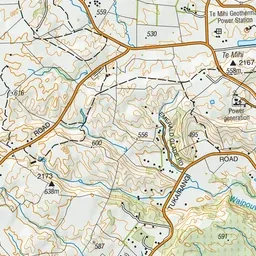
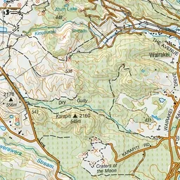
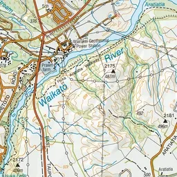
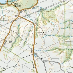
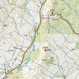
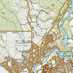
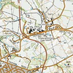
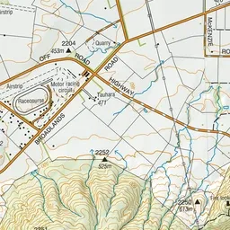
Pink: the track.
About the track
These two tracks along the banks of the Waikato River allow for stunning views of the river, and access to Huka Falls and the network of mountain bike trails in the area.
Rotary Ride and Waikato River Track on DOC's website, for track alerts, bookings and closures.