 Ridgeflow
Rotopounamu Track
Waikato · New Zealand
Distance4.7 km (2.9 mi)along the line
Climb26 m (85 ft)103 m (338 ft) down
High point740 m (2,428 ft)lowest 662 m (2,172 ft)
DOC's time2 hr loopas DOC publishes it
Walking time1 h 14 minone way, moving, our estimate
GradeEasyDOC
Elevation profile
Map
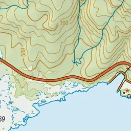
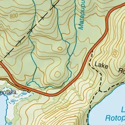
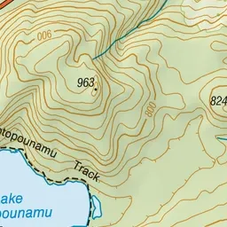
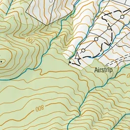
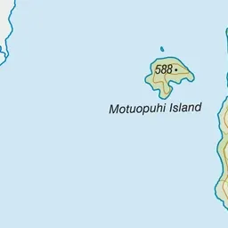
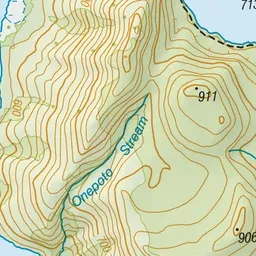
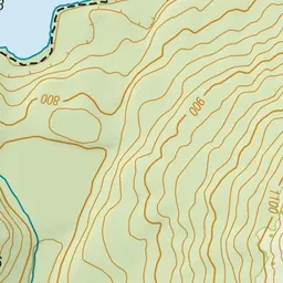
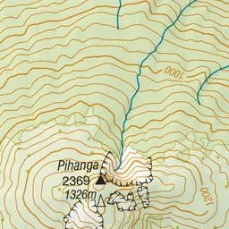
Pink: the track.
About the track
This track circles a beautiful lake surrounded by native forest and is a special favourite of tree lovers, birdwatchers, and families.
Rotopounamu Track on DOC's website, for track alerts, bookings and closures.