 Ridgeflow
Round the Mountain Track
Waikato · New Zealand
Distance57.7 km (35.8 mi)all 5 sections
Climb2,389 m (7,838 ft)2,289 m (7,510 ft) down
High point1,561 m (5,121 ft)lowest 1,096 m (3,596 ft)
DOC's time4 - 6 daysas DOC publishes it
GradeAdvancedDOC
This track is mapped in 5 separate sections, so there is no single profile or walking time. Climb is added up section by section.
Map
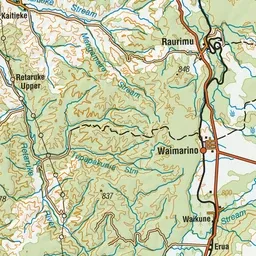
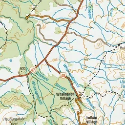
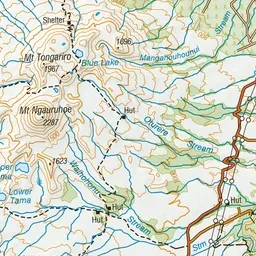
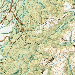
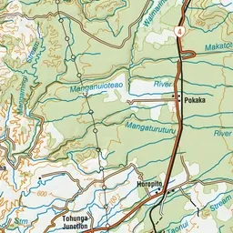
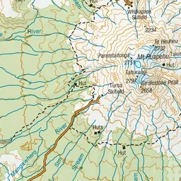
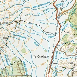
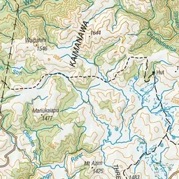
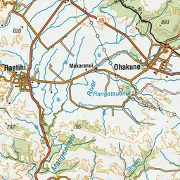
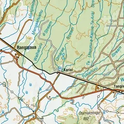
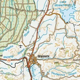
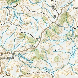
Pink: the track. Orange: huts. Blue: campsites.
About the track
The Round the Mountain Track showcases the varied volcanic landscapes and alpine vegetation on the flanks of the active volcano Mount Ruapehu.
Huts on or near the track
- Waihohonu Hut (1100 m, bookable)
- Mangaturuturu Hut (1252 m, bookable)
- Mangaehuehu Hut (1282 m, bookable)
- Rangipo Hut (1559 m, bookable)
Campsites
- Waihohonu Campsite (1100 m)
Round the Mountain Track on DOC's website, for track alerts, bookings and closures.