 Ridgeflow
Routeburn Nature Walk
Otago · New Zealand
Distance2.3 km (1.4 mi)along the line
Climb60 m (197 ft)36 m (118 ft) down
High point501 m (1,644 ft)lowest 476 m (1,562 ft)
DOC's time40 min - 1 hras DOC publishes it
Walking time41 minone way, moving, our estimate
GradeEasiestDOC
Elevation profile
Map
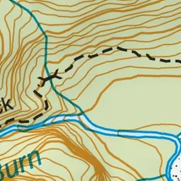
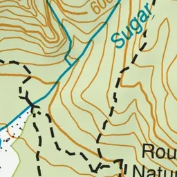
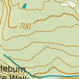
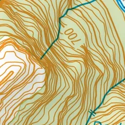
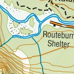
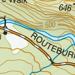
Pink: the track. Green dot: the start.
About the track
An easy going, well interpreted loop track ideal for a family walk. It passes through beech/tawhai forest and other vegetation, similar to what the famed Routeburn Track passes through.
Routeburn Nature Walk on DOC's website, for track alerts, bookings and closures.