 Ridgeflow
Routeburn Track
Otago · New Zealand
Distance32.3 km (20.1 mi)all 3 sections
Climb1,477 m (4,846 ft)1,411 m (4,629 ft) down
High point1,293 m (4,242 ft)lowest 476 m (1,562 ft)
DOC's time2-4 daysas DOC publishes it
GradeIntermediate, Advanced, ExpertDOC
This track is mapped in 3 separate sections, so there is no single profile or walking time. Climb is added up section by section.
Map
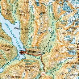
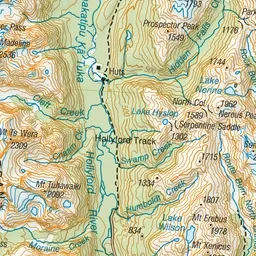
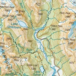
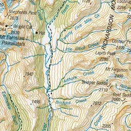
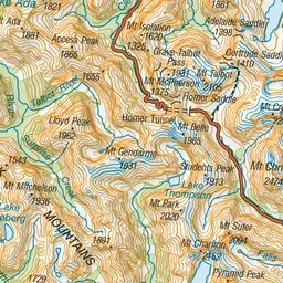
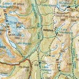
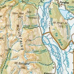
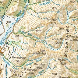
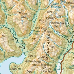
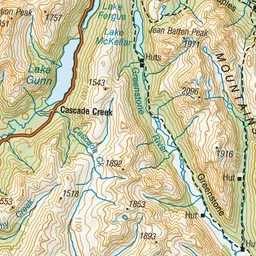
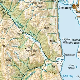
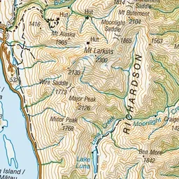
Pink: the track. Orange: huts. Blue: campsites.
About the track
Weave through meadows, reflective tarns and alpine gardens, and be rewarded with spectacular vistas over vast mountain ranges and valleys. From May to October, conditions can be challenging – only attempt if you have the skills.
Huts on or near the track
- Routeburn Flats Hut (699 m, bookable)
- Lake Mackenzie Hut (896 m, bookable)
- Routeburn Falls Hut (970 m, bookable)
Campsites
- Routeburn Flats Campsite (699 m)
Routeburn Track on DOC's website, for track alerts, bookings and closures.