 Ridgeflow
Roxburgh Faces Tramping Track
Otago · New Zealand
Distance2.5 km (1.6 mi)along the line
Climb0 m (0 ft)363 m (1,191 ft) down
High point522 m (1,713 ft)lowest 154 m (505 ft)
DOC's time1 hr 30 min - 2 hr from Flat Top Hill Tramping Traas DOC publishes it
Walking time43 minone way, moving, our estimate
GradeAdvancedDOC
Elevation profile
Map
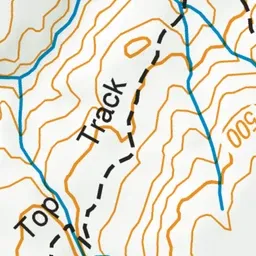
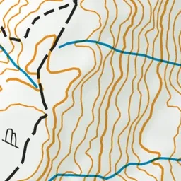
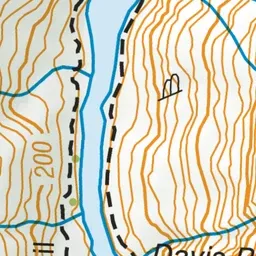
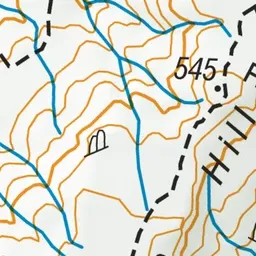
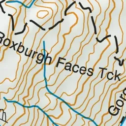
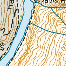
Pink: the track. Green dot: the start.
About the track
This track connects Flat Top Hill to the Roxburgh Gorge Trail. It is also called Haul Road East.
Roxburgh Faces Tramping Track on DOC's website, for track alerts, bookings and closures.