 Ridgeflow
Ruahine Corner to Rangitane Road
Manawatū-Whanganui · New Zealand
Distance18.7 km (11.6 mi)all 6 sections
Climb2,225 m (7,300 ft)1,298 m (4,259 ft) down
High point1,328 m (4,357 ft)lowest 538 m (1,765 ft)
DOC's time4 daysas DOC publishes it
GradeAdvancedDOC
This track is mapped in 6 separate sections, so there is no single profile or walking time. Climb is added up section by section.
Map
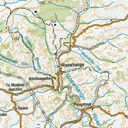
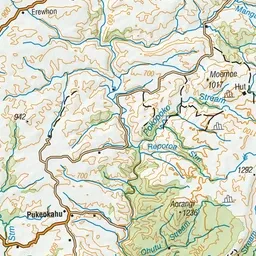
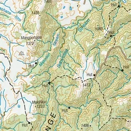
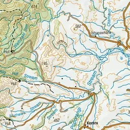
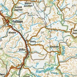
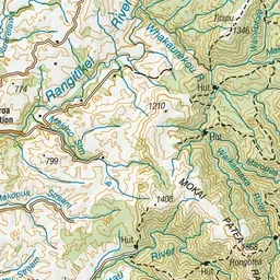
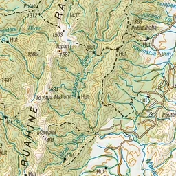
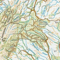
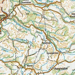
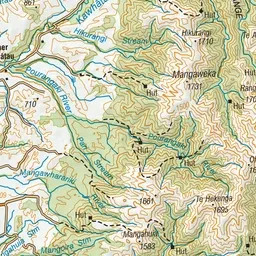
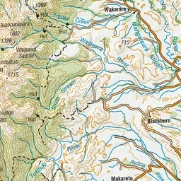
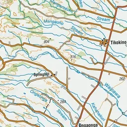
Pink: the track. Orange: huts.
About the track
An excellent but strenuous trip in the remote north western Ruahine Forest Park renowned for its scenery and ecological values. Fly in by helicopter and walk out.
Huts on or near the track
- Ruahine Corner Hut (1186 m)
- Colenso Hut (722 m)
- Iron Bark Hut (536 m)
- Otukota Hut (634 m)
Ruahine Corner to Rangitane Road on DOC's website, for track alerts, bookings and closures.