 Ridgeflow
Saddle Hill Summit Track
Canterbury · New Zealand
Distance1.5 km (1 mi)along the line
Climb186 m (610 ft)16 m (52 ft) down
High point814 m (2,671 ft)lowest 644 m (2,113 ft)
DOC's time90 minsas DOC publishes it
Walking time42 minone way, moving, our estimate
GradeEasyDOC
Elevation profile
Map
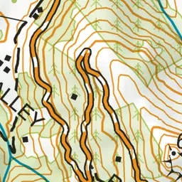
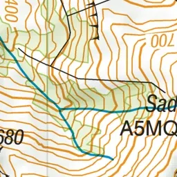
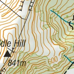
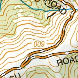
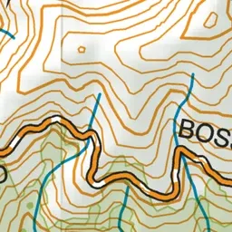
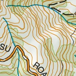
Pink: the track. Green dot: the start.
About the track
This family-friendly walk has stunning views of Akaroa Harbour, Kaitorete, and the peaks of Banks Peninsula to the South Alps.
Saddle Hill Summit Track on DOC's website, for track alerts, bookings and closures.