 Ridgeflow
Sanctuary Track
Bay of Plenty · New Zealand
Distance2.2 km (1.3 mi)along the line
Climb49 m (161 ft)81 m (266 ft) down
High point478 m (1,568 ft)lowest 396 m (1,299 ft)
DOC's time1 hr 30 minas DOC publishes it
Walking time37 minone way, moving, our estimate
GradeEasyDOC
Elevation profile
Map
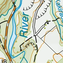
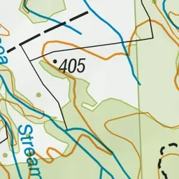
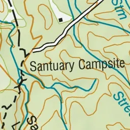
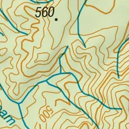
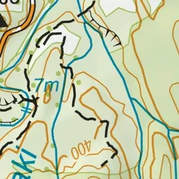
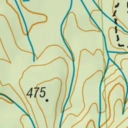
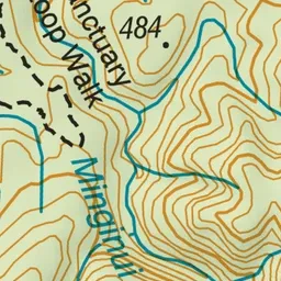
Pink: the track. Green dot: the start. Blue: campsites.
About the track
The Sanctuary Track is an easy loop track that goes through remnant podocarp forest. You can also walk it at night as the Whirinaki Night Life Walk.
Campsites
- Sanctuary Campsite (391 m)
Sanctuary Track on DOC's website, for track alerts, bookings and closures.