 Ridgeflow
Sawyer Burn Track
Otago · New Zealand
Distance4 km (2.5 mi)along the line
Climb613 m (2,011 ft)93 m (305 ft) down
High point936 m (3,071 ft)lowest 377 m (1,237 ft)
DOC's time1-2 hr to the bushline, 5 hr return to Sawyer Burnas DOC publishes it
Walking time2 h 2 minone way, moving, our estimate
GradeAdvancedDOC
Elevation profile
Map
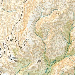
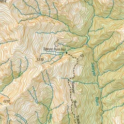
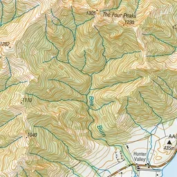
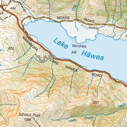
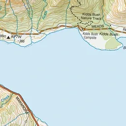
Pink: the track. Green dot: the start. Orange: huts. Blue: campsites.
About the track
The Sawyer Burn Track climbs through the forest to the bushline and has superb views of Lake Hāwea and the surrounding mountains.
Huts on or near the track
- Sawyer Burn Hut (888 m)
Campsites
- Kidds Bush Reserve Campsite (353 m)
Sawyer Burn Track on DOC's website, for track alerts, bookings and closures.