 Ridgeflow
Sawyers and Parsons Creek to Freehold Creek Track
Canterbury · New Zealand
Distance2.8 km (1.8 mi)all 2 sections
Climb129 m (423 ft)42 m (138 ft) down
High point654 m (2,146 ft)lowest 525 m (1,722 ft)
DOC's time8 hrs one wayas DOC publishes it
GradeAdvanced, ExpertDOC
This track is mapped in 2 separate sections, so there is no single profile or walking time. Climb is added up section by section.
Map
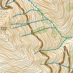
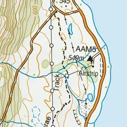

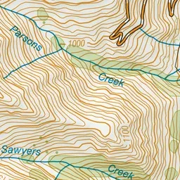
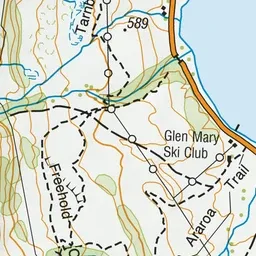
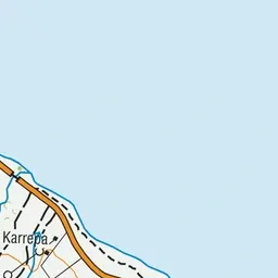
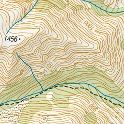
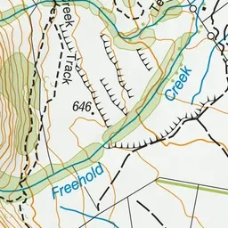
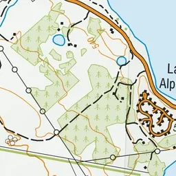
Pink: the track.
About the track
Climb up past mountain beech and native mistletoes to an ancient glacial moraine terrace in the Lake Ōhau area. This track is part of Te Araroa Trail.
Sawyers and Parsons Creek to Freehold Creek Track on DOC's website, for track alerts, bookings and closures.