 Ridgeflow
Scott Creek Track
Otago · New Zealand
Distance3.6 km (2.3 mi)along the line
Climb663 m (2,175 ft)9 m (30 ft) down
High point1,016 m (3,333 ft)lowest 362 m (1,188 ft)
DOC's time5-7 hr returnas DOC publishes it
Walking time2 h 1 minone way, moving, our estimate
GradeAdvancedDOC
Elevation profile
Map
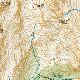
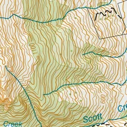
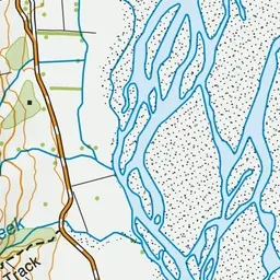
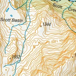
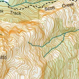
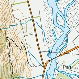
Pink: the track. Green dot: the start.
About the track
This route is for experienced hikers. It is irregularly marked, steep and in parts obscure and washed out.
Scott Creek Track on DOC's website, for track alerts, bookings and closures.