 Ridgeflow
Seven Mile Point Track
Otago · New Zealand
Distance2.8 km (1.7 mi)along the line
Climb115 m (377 ft)149 m (489 ft) down
High point413 m (1,355 ft)lowest 308 m (1,010 ft)
DOC's time1 hr 30 min one wayas DOC publishes it
Walking time53 minone way, moving, our estimate
GradeEasyDOC
Elevation profile
Map
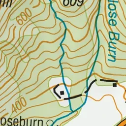
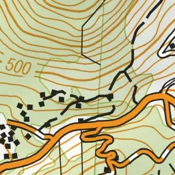
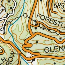
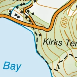
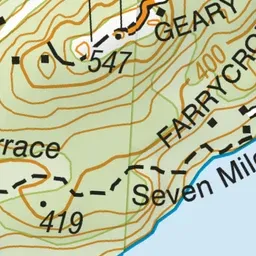
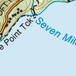

Pink: the track. Green dot: the start.
About the track
Walk or bike by Lake Wakatipu, then climb through native bush and pine forest to see Wilson Bay from Kirks Terrace. This track is part of Te Araroa Trail.
Seven Mile Point Track on DOC's website, for track alerts, bookings and closures.