 Ridgeflow
Ship Creek Tauparikākā walks
West Coast · New Zealand
Distance0.7 km (0.4 mi)along the line
Climb0 m (0 ft)0 m (0 ft) down
High point20 m (66 ft)lowest 13 m (43 ft)
DOC's time20 min return Kahikatea Swamp Forest Walk | 30 mias DOC publishes it
Walking time11 minone way, moving, our estimate
GradeEasiestDOC
Elevation profile
Map
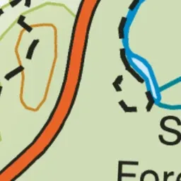
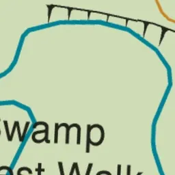
Pink: the track. Green dot: the start.
About the track
This is a true wild South Westland experience for people of all ages and abilities. Enjoy magnificent photo opportunities of a dune lake and sweeping coastline and walk in ancient kahikatea swamp forest, all starting from the same point.
Ship Creek Tauparikākā walks on DOC's website, for track alerts, bookings and closures.