 Ridgeflow
Silica Rapids Walk
Manawatū-Whanganui · New Zealand
Distance4.2 km (2.6 mi)along the line
Climb193 m (633 ft)65 m (213 ft) down
High point1,317 m (4,321 ft)lowest 1,134 m (3,720 ft)
DOC's time2 hr 30 minas DOC publishes it
Walking time1 h 22 minone way, moving, our estimate
GradeEasyDOC
Elevation profile
Map
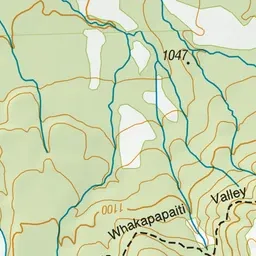
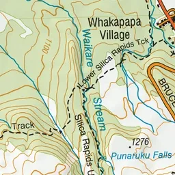
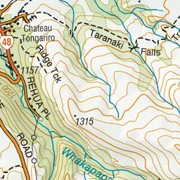
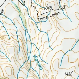
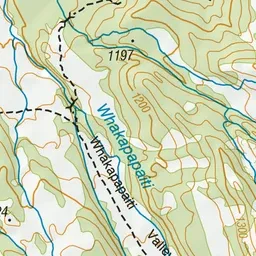
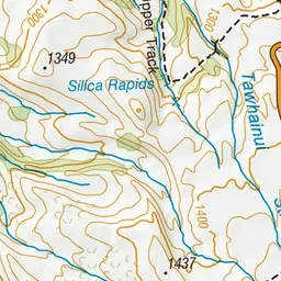
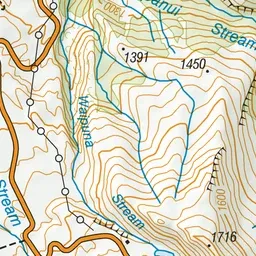
Pink: the track. Green dot: the start. Blue: campsites.
About the track
Experience a range of vegetation types as well as the creamy-white Silica Rapid terraces.
Campsites
- Whakapapa Holiday Park (1134 m)
Silica Rapids Walk on DOC's website, for track alerts, bookings and closures.