 Ridgeflow
Silverpeaks Circuit Track
Otago · New Zealand
Distance23.9 km (14.8 mi)along the line
Climb1,474 m (4,836 ft)1,453 m (4,767 ft) down
High point767 m (2,516 ft)lowest 176 m (577 ft)
DOC's time12 hras DOC publishes it
Walking time8 h 26 minone way, moving, our estimate
GradeAdvancedDOC
Elevation profile
Map
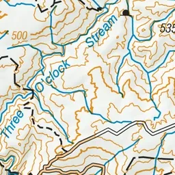
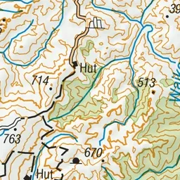
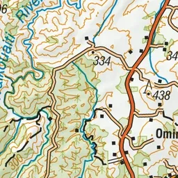
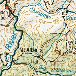
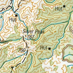
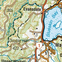
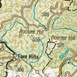
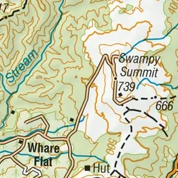
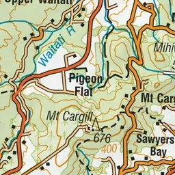
Pink: the track. Orange: huts.
About the track
Silverpeaks Circuit Track provides a challenging hike through the Silverpeaks Scenic Reserve. You will explore ridges covered in regenerating native bush, tussock land and follow historic gold mining water races
Huts on or near the track
- Philip J Cox Memorial Hut (401 m)
- Jubilee Hut (426 m, bookable)
Silverpeaks Circuit Track on DOC's website, for track alerts, bookings and closures.