 Ridgeflow
Slapjack Saddle Track
Otago · New Zealand
Distance18.3 km (11.4 mi)all 5 sections
Climb525 m (1,722 ft)1,200 m (3,937 ft) down
High point1,267 m (4,157 ft)lowest 294 m (965 ft)
DOC's time6 hr one wayas DOC publishes it
GradeEasyDOC
This track is mapped in 5 separate sections, so there is no single profile or walking time. Climb is added up section by section.
Map
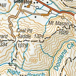
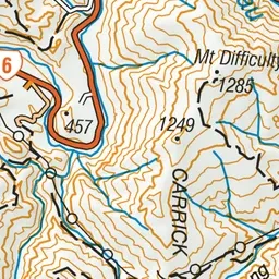
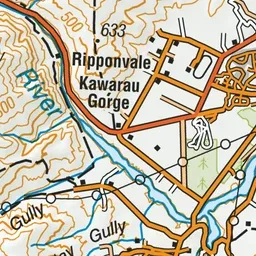
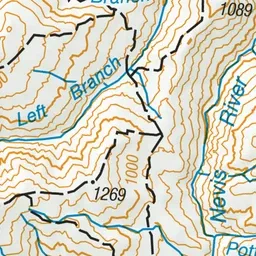
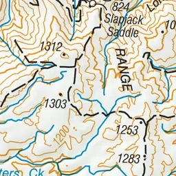
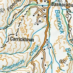
Pink: the track.
About the track
Journey through the Carrick Range, past the spectacular Long Gully bluffs. There are brilliant views from the tops and golden colours in the lower reaches during autumn.
Slapjack Saddle Track on DOC's website, for track alerts, bookings and closures.