 Ridgeflow
South Coast Track
Southland · New Zealand
Distance57.7 km (35.9 mi)along the line
Climb865 m (2,838 ft)841 m (2,759 ft) down
High point129 m (423 ft)lowest 4 m (13 ft)
DOC's time7 hr to Port Craig, 4 days to Big Riveras DOC publishes it
Walking time15 h 52 minone way, moving, our estimate
GradeExpertDOC
Elevation profile
Map
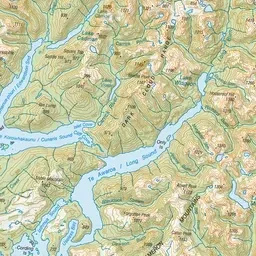
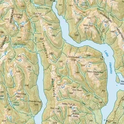
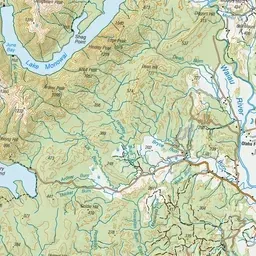
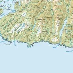
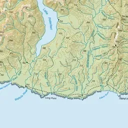
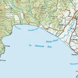


Pink: the track. Orange: huts.
About the track
Rugged southern Fiordland coast: Rarakau to Port Craig is an easy overnight, but beyond it to the remote Big River needs above-average fitness and real backcountry navigation skills.
Huts on or near the track
- Westies Hut (4 m)
- Wairaurahiri Hut (18 m)
- Waitutu Hut (13 m)
- Port Craig School Hut (36 m, bookable)
South Coast Track on DOC's website, for track alerts, bookings and closures.