 Ridgeflow
South Mavora Lake walking tracks
Southland · New Zealand
Distance16.9 km (10.5 mi)all 4 sections
Climb183 m (600 ft)112 m (367 ft) down
High point657 m (2,156 ft)lowest 520 m (1,706 ft)
GradeEasyDOC
This track is mapped in 4 separate sections, so there is no single profile or walking time. Climb is added up section by section.
Map
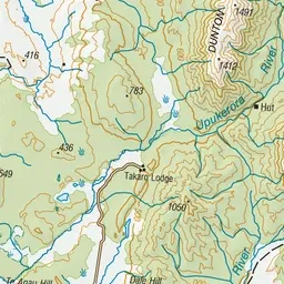
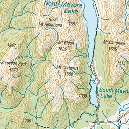
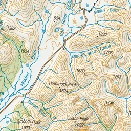
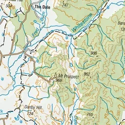
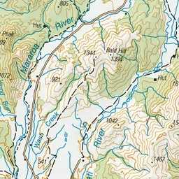
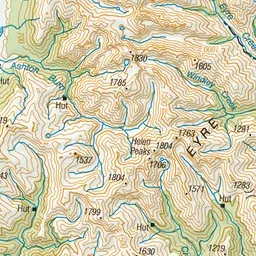
Pink: the track. Orange: huts.
About the track
Day walk options from the Mavora Lakes camping ground in the Te Anau area. This track is part of Te Araroa Trail.
Huts on or near the track
- Kiwi Burn Hut (555 m)
South Mavora Lake walking tracks on DOC's website, for track alerts, bookings and closures.