 Ridgeflow
Southern Access Corridor
Waikato · New Zealand
Distance21 km (13.1 mi)along the line
Climb1,153 m (3,783 ft)1,278 m (4,193 ft) down
High point1,471 m (4,826 ft)lowest 942 m (3,091 ft)
DOC's time10 - 12 hras DOC publishes it
Walking time7 h 11 minone way, moving, our estimate
GradeExpertDOC
Elevation profile
Map
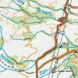
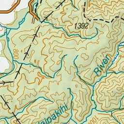
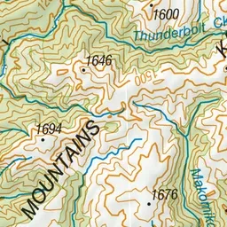
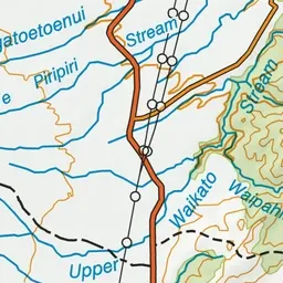
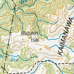
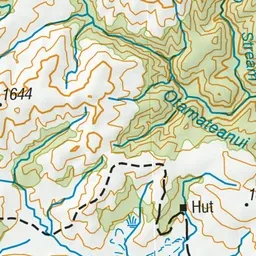
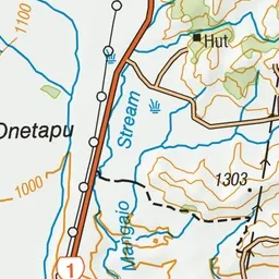
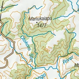
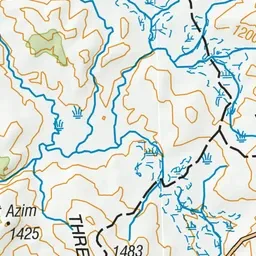
Pink: the track. Green dot: the start.
About the track
This route, bordering New Zealand Defence Force land, heads from the Desert Road through to the Otamateanui Stream and Rangitikei River confluence.
Southern Access Corridor on DOC's website, for track alerts, bookings and closures.