 Ridgeflow
Southern Circuit Stewart Island/Rakiura
Southland · New Zealand
Distance91.8 km (57 mi)along the line
Climb2,205 m (7,234 ft)2,187 m (7,175 ft) down
High point415 m (1,362 ft)lowest 0 m (0 ft)
DOC's time4 - 6 days round trip from Freshwater landingas DOC publishes it
Walking time26 h 38 minone way, moving, our estimate
GradeAdvancedDOC
Elevation profile
Map
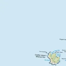
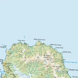
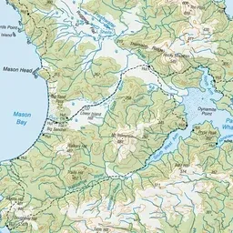
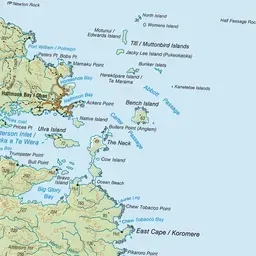
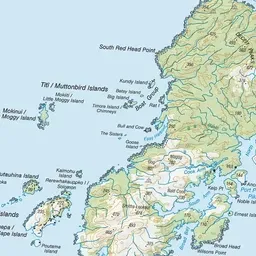
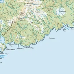
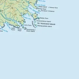
Pink: the track. Orange: huts. Blue: campsites.
About the track
Stewart Island/Rakiura's Southern Circuit Track is a remote, challenging hike and requires good fitness, route-finding skills and backcountry experience.
Huts on or near the track
- Mason Bay Hut (18 m)
- Freds Camp Hut (30 m)
- Freshwater Hut (20 m)
- North Arm Hut (16 m, bookable)
- Rakeahua Hut (20 m)
- Cavalier Hunters Hut (14 m, bookable)
- Doughboy Bay Hut (31 m)
Campsites
- North Arm Campsite (14 m)
Southern Circuit Stewart Island/Rakiura on DOC's website, for track alerts, bookings and closures.