 Ridgeflow
St James Walkway
West Coast · New Zealand
Distance63 km (39.1 mi)all 2 sections
Climb1,048 m (3,438 ft)1,344 m (4,409 ft) down
High point1,139 m (3,737 ft)lowest 582 m (1,909 ft)
DOC's time5 daysas DOC publishes it
GradeAdvancedDOC
This track is mapped in 2 separate sections, so there is no single profile or walking time. Climb is added up section by section.
Map
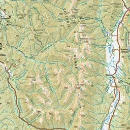
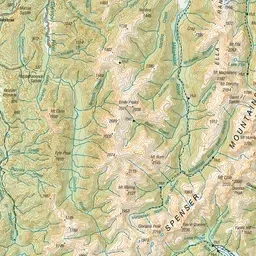
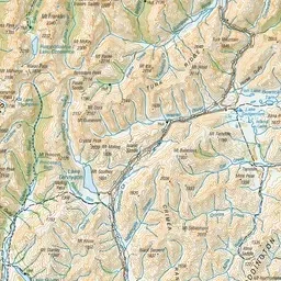
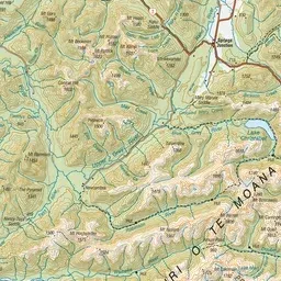
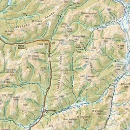
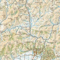
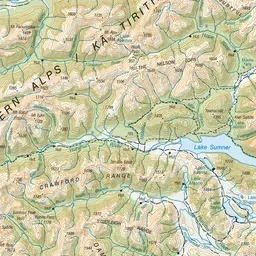
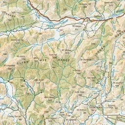
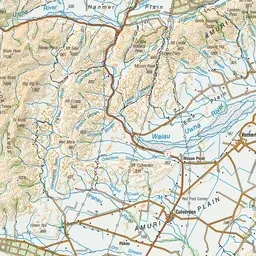
Pink: the track. Orange: huts. Blue: campsites.
About the track
This track passes through pastoral land, beech forest and sub-alpine regions. This track is part of Te Araroa Trail.
Huts on or near the track
- Boyle Flat Hut (816 m, bookable)
- Christopher Hut (801 m, bookable)
- Cannibal Gorge Hut (900 m, bookable)
- Rokeby Hut (858 m)
- Christopher (Ada) Cullers Hut (805 m)
- Anne Hut (888 m, bookable)
- Ada Pass Hut (1000 m, bookable)
Campsites
- Boyle Campsite (584 m)
St James Walkway on DOC's website, for track alerts, bookings and closures.