 Ridgeflow
St Paul's Rock Track
Northland · New Zealand
Distance0.7 km (0.4 mi)along the line
Climb106 m (348 ft)0 m (0 ft) down
High point180 m (591 ft)lowest 71 m (233 ft)
DOC's time30 min one wayas DOC publishes it
Walking time21 minone way, moving, our estimate
GradeEasyDOC
Elevation profile
Map

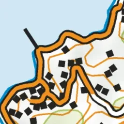
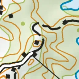
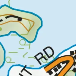

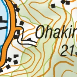
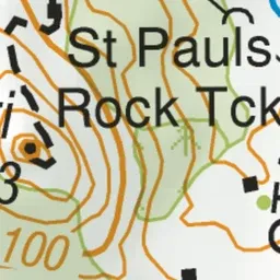
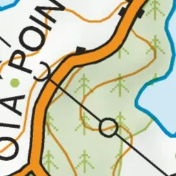
Pink: the track. Green dot: the start.
About the track
This track climbs up to St Paul's Rock, which stands high above Whangaroa township and provides spectacular views of the Whangaroa Harbour. It's suitable for those with moderate fitness.
St Paul's Rock Track on DOC's website, for track alerts, bookings and closures.