 Ridgeflow
Sugarloaf/Rockburn Track
Otago · New Zealand
Distance13.2 km (8.2 mi)along the line
Climb1,036 m (3,399 ft)930 m (3,051 ft) down
High point1,162 m (3,812 ft)lowest 376 m (1,234 ft)
DOC's time8-11 hr (Routeburn carpark - Lake Sylvan)as DOC publishes it
Walking time5 h 2 minone way, moving, our estimate
GradeAdvancedDOC
Elevation profile
Map
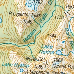
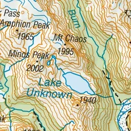
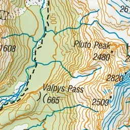
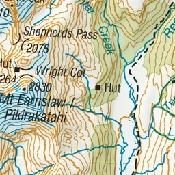
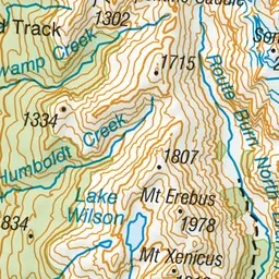
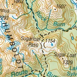
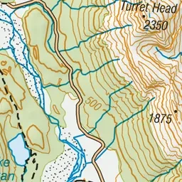
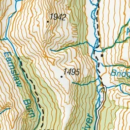
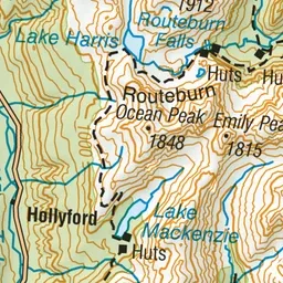
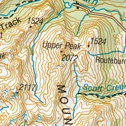
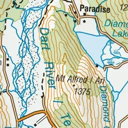
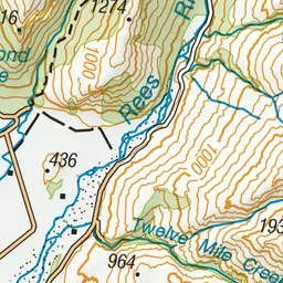
Pink: the track.
About the track
This marked track traverses moraine through beech forest from Lake Sylvan.
Sugarloaf/Rockburn Track on DOC's website, for track alerts, bookings and closures.