 Ridgeflow
Surat Bay Beach Walk
Otago · New Zealand
Distance0.5 km (0.3 mi)along the line
Climb0 m (0 ft)0 m (0 ft) down
High point12 m (39 ft)lowest 5 m (16 ft)
DOC's time20 min return via same trackas DOC publishes it
Walking time8 minone way, moving, our estimate
GradeEasiestDOC
Elevation profile
Map
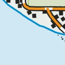
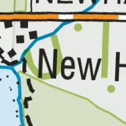


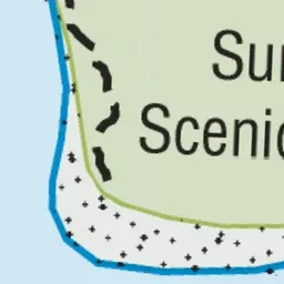
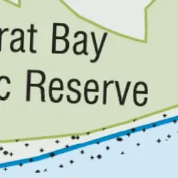
Pink: the track. Green dot: the start.
About the track
This short walk runs parallel to Surat Bay Beach and goes through sand dunes. It's the only access to Surat Beach during high tide.
Surat Bay Beach Walk on DOC's website, for track alerts, bookings and closures.