 Ridgeflow
Tahurangi Translator Tower round trip
Taranaki · New Zealand
Distance3.6 km (2.2 mi)along the line
Climb566 m (1,857 ft)0 m (0 ft) down
High point1,525 m (5,003 ft)lowest 958 m (3,143 ft)
DOC's time4 hras DOC publishes it
Walking time1 h 50 minone way, moving, our estimate
GradeAdvancedDOC
Elevation profile
Map
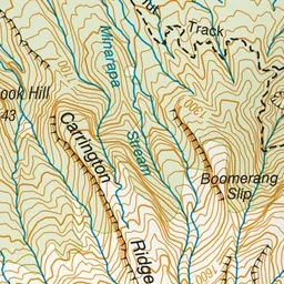
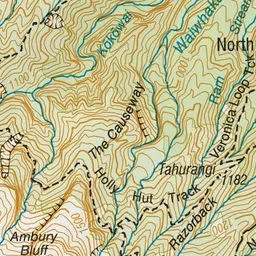
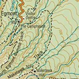
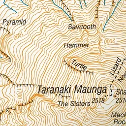
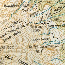
Pink: the track. Green dot: the start.
About the track
A scenic climb to a viewing point beside a commercial translator tower. This track travels into the alpine environment and may be impassable due to snow and ice in the winter.
Tahurangi Translator Tower round trip on DOC's website, for track alerts, bookings and closures.