 Ridgeflow
Taieri River Track
Otago · New Zealand
Distance4.3 km (2.7 mi)along the line
Climb186 m (610 ft)184 m (604 ft) down
High point185 m (607 ft)lowest 20 m (66 ft)
DOC's time4 hr returnas DOC publishes it
Walking time1 h 23 minone way, moving, our estimate
GradeEasyDOC
Elevation profile
Map
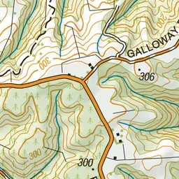
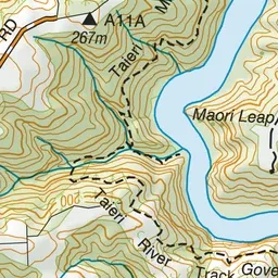
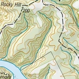
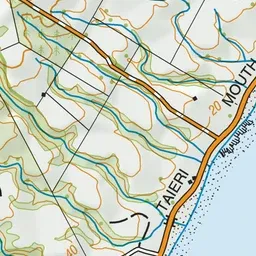
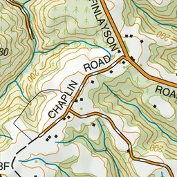
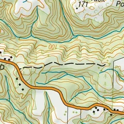
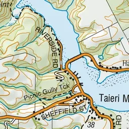
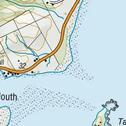
Pink: the track. Green dot: the start.
About the track
An interesting walk in the Taieri Gorge that travels alongside the Taieri River and passes through several different types of vegetation.
Taieri River Track on DOC's website, for track alerts, bookings and closures.