 Ridgeflow
Taita Bridle Track
Northland · New Zealand
Distance4 km (2.5 mi)along the line
Climb0 m (0 ft)377 m (1,237 ft) down
High point641 m (2,103 ft)lowest 260 m (853 ft)
DOC's time2 hr one wayas DOC publishes it
Walking time1 hone way, moving, our estimate
GradeAdvancedDOC
Elevation profile
Map
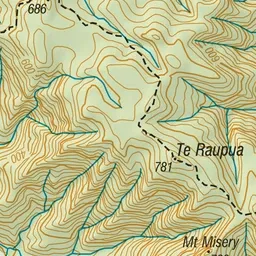
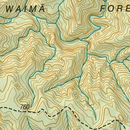
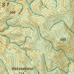
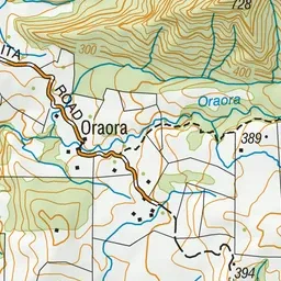
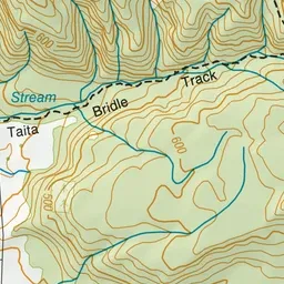
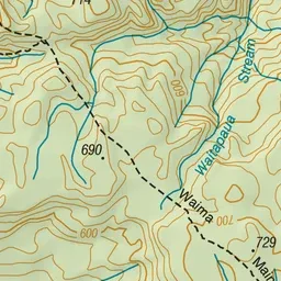
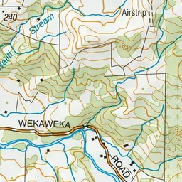
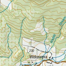
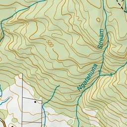
Pink: the track. Green dot: the start.
About the track
This moderately challenging track leads into the beautiful and rugged Waimā Forest.
Taita Bridle Track on DOC's website, for track alerts, bookings and closures.