 Ridgeflow
Talbot Forest Scenic Reserve tracks
Canterbury · New Zealand
Distance2.1 km (1.3 mi)along the line
Climb42 m (138 ft)65 m (213 ft) down
High point182 m (597 ft)lowest 137 m (449 ft)
DOC's time10 - 20 minas DOC publishes it
Walking time35 minone way, moving, our estimate
GradeEasiestDOC
Elevation profile
Map
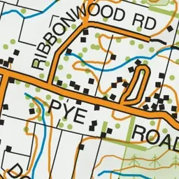
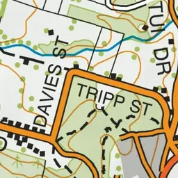
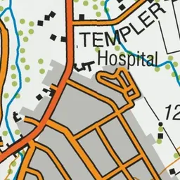
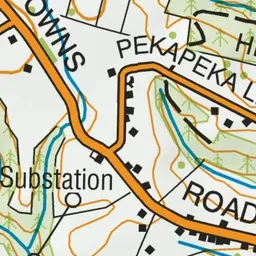
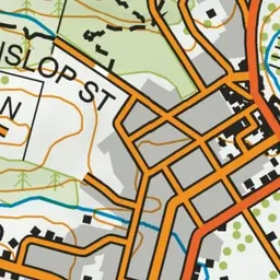
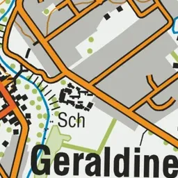
Pink: the track.
About the track
These short walks in and around Talbot Forest Scenic Reserve are ideal for families. There are four short walks through the forest which interconnect with roads around the reserve.
Talbot Forest Scenic Reserve tracks on DOC's website, for track alerts, bookings and closures.