 Ridgeflow
Tarawera Falls Track
Bay of Plenty · New Zealand
Distance0.8 km (0.5 mi)along the line
Climb0 m (0 ft)0 m (0 ft) down
High point182 m (597 ft)lowest 179 m (587 ft)
DOC's time20 min one wayas DOC publishes it
Walking time12 minone way, moving, our estimate
GradeEasiestDOC
Elevation profile
Map
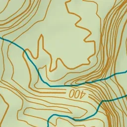
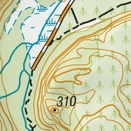
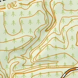
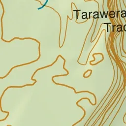
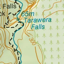
Pink: the track. Green dot: the start.
About the track
The track runs between the Waterfall road carpark to the spectacular falls, where water surges out of fissures in a high cliff face. Limited access times and permits required.
Tarawera Falls Track on DOC's website, for track alerts, bookings and closures.