 Ridgeflow
Tarawera Outlet to Falls Track
Bay of Plenty · New Zealand
Distance5.1 km (3.1 mi)along the line
Climb28 m (92 ft)149 m (489 ft) down
High point305 m (1,001 ft)lowest 179 m (587 ft)
DOC's time2 hr one wayas DOC publishes it
Walking time1 h 19 minone way, moving, our estimate
GradeEasyDOC
Elevation profile
Map
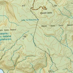
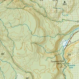
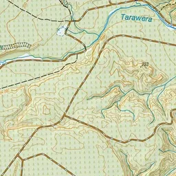
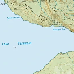
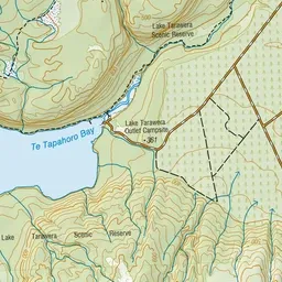
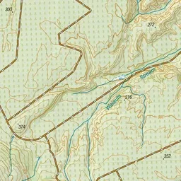
Pink: the track. Green dot: the start.
About the track
See the Tarawera River disappearing underground at various sites before it re-emerges through the spectacular Tarawera Falls through narrow fissures in a fractured rhyolite lava cliff.
Tarawera Outlet to Falls Track on DOC's website, for track alerts, bookings and closures.