 Ridgeflow
Tarawera Trail
Bay of Plenty · New Zealand
Distance13.8 km (8.6 mi)along the line
Climb441 m (1,447 ft)540 m (1,772 ft) down
High point477 m (1,565 ft)lowest 301 m (988 ft)
DOC's time5-6 hras DOC publishes it
Walking time4 h 11 minone way, moving, our estimate
GradeAdvancedDOC
Elevation profile
Map
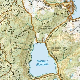
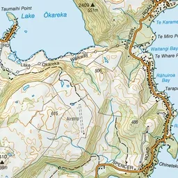
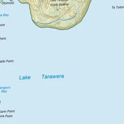
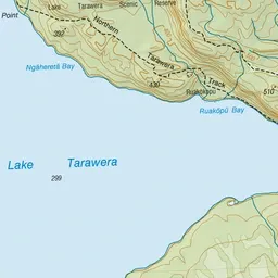
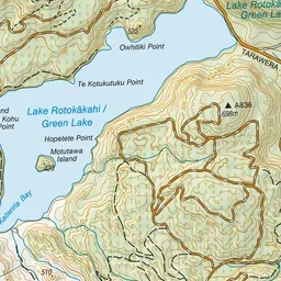
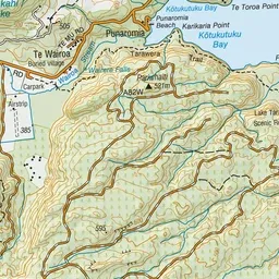
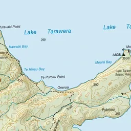
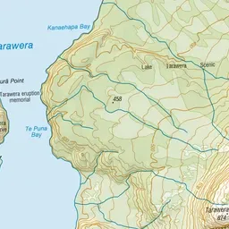
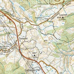
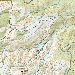
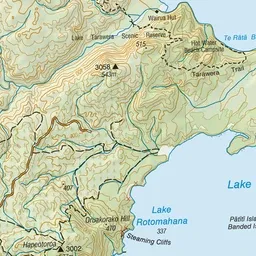
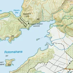
Pink: the track. Green dot: the start. Blue: campsites.
About the track
Meander your way through bush from Te Wairoa to Hot Water Beach Campsite. Stay overnight or book a water taxi to The Landing.
Campsites
- Hot Water Beach Campsite (317 m)
Tarawera Trail on DOC's website, for track alerts, bookings and closures.