 Ridgeflow
Tarn Hut tracks
Canterbury · New Zealand
Distance22.7 km (14.1 mi)along the line
Climb1,142 m (3,747 ft)1,041 m (3,415 ft) down
High point1,402 m (4,600 ft)lowest 444 m (1,457 ft)
DOC's time2 daysas DOC publishes it
Walking time7 h 34 minone way, moving, our estimate
GradeAdvancedDOC
Elevation profile
Map
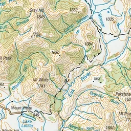
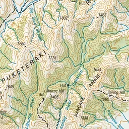
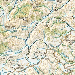
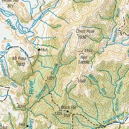
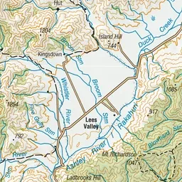
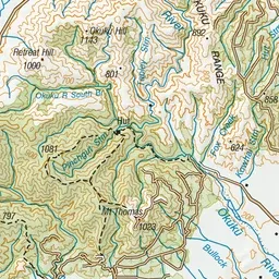
Pink: the track. Orange: huts.
About the track
These tracks can be combined to form a circuit walk to Tarn Hut.
Huts on or near the track
- Youngman Stream Hut (700 m)
- Tarn Hut (1271 m)
Tarn Hut tracks on DOC's website, for track alerts, bookings and closures.