 Ridgeflow
Tatare Tunnels Walk
West Coast · New Zealand
Distance1.8 km (1.1 mi)along the line
Climb162 m (531 ft)44 m (144 ft) down
High point319 m (1,047 ft)lowest 184 m (604 ft)
DOC's time1 hr 20 minas DOC publishes it
Walking time44 minone way, moving, our estimate
GradeEasyDOC
Elevation profile
Map
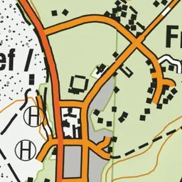
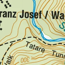
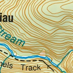

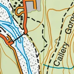
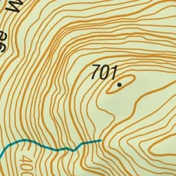
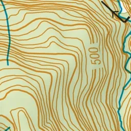
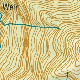
Pink: the track. Green dot: the start.
About the track
The 80-minute walk follows an old 4WD road then the tracks climbs to the old water tunnels. You will need a torch and raincoat to explore the tunnels.
Tatare Tunnels Walk on DOC's website, for track alerts, bookings and closures.