 Ridgeflow
Tauranga Loop Track
Bay of Plenty · New Zealand
Distance4.7 km (2.9 mi)along the line
Climb68 m (223 ft)75 m (246 ft) down
High point120 m (394 ft)lowest 61 m (200 ft)
DOC's time2 hras DOC publishes it
Walking time1 h 17 minone way, moving, our estimate
GradeEasyDOC
Elevation profile
Map
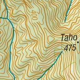
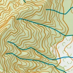
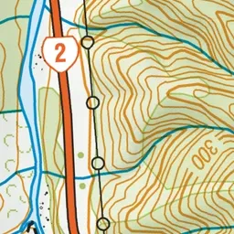
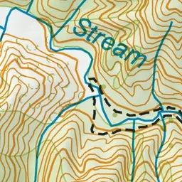
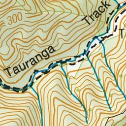
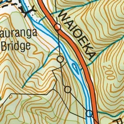
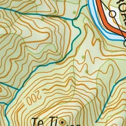
Pink: the track.
About the track
This walking track crosses the historic Tauranga Bridge and passes alongside the Tauranga Stream.
Tauranga Loop Track on DOC's website, for track alerts, bookings and closures.